
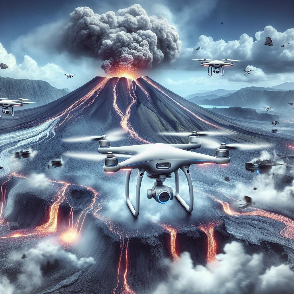
In an era where the unpredictability of nature poses both grand challenges and profound mysteries, innovation soars on wings of technology. Enter the realm of drones – the silent sentinels of the skies, equipped with the capability to venture where human footsteps falter. From the fiery breath of active volcanoes to the tumultuous wake of natural disasters, these advanced aerial devices provide an unprecedented vantage point. In this article, we delve into the top drones pioneering the frontier of volcano and natural disaster monitoring, exploring how these remarkable machines are transforming our ability to predict, respond to, and understand the raw power of our dynamic planet.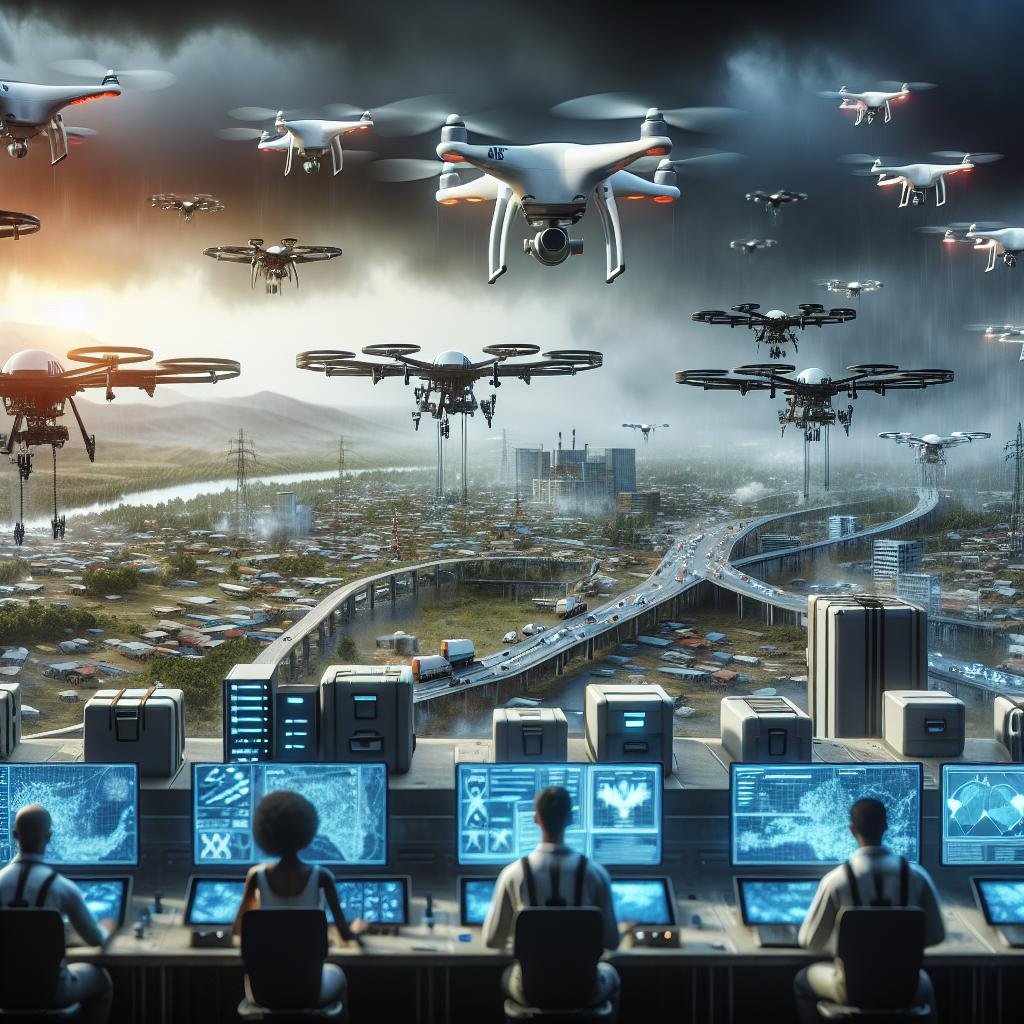
Exploring Cutting-Edge Drone Technology for Disaster Management
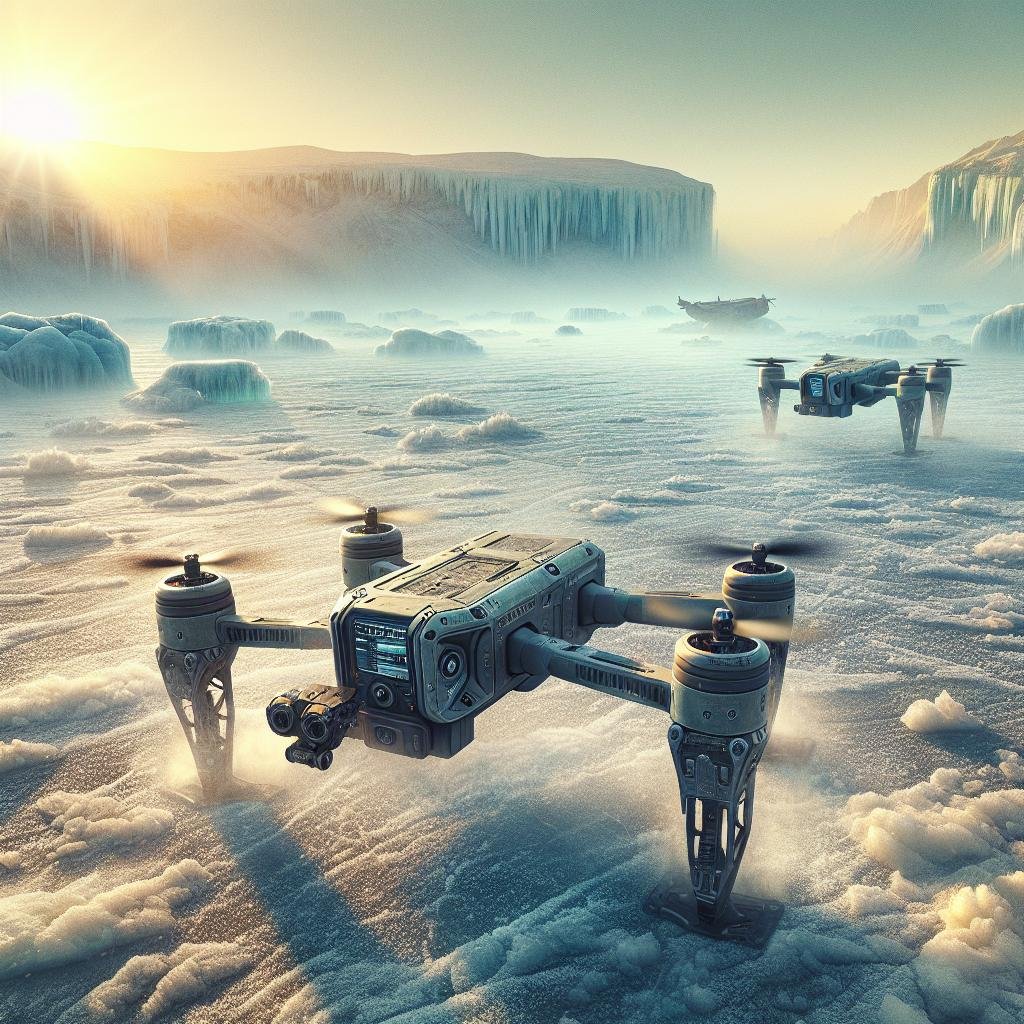
In recent years, advancements in drone technology have revolutionized our approach to natural disaster management. Equipped with high-resolution cameras, thermal imaging capabilities, and advanced sensors, drones are increasingly becoming indispensable tools for monitoring and responding to volcanic eruptions, earthquakes, floods, and hurricanes. These versatile machines can access hazardous and hard-to-reach areas, providing real-time data critical for assessing damage, guiding rescue operations, and even predicting future calamities. Users can now choose from a variety of drones specifically designed for different disaster scenarios, making them more adaptable to the unique challenges posed by each event.
Here are some of the top drones making waves in disaster management technology:
- DJI Matrice 300 RTK: Known for its incredible stability and range, this drone features thermal imaging and can operate in extreme conditions, making it ideal for volcanic eruptions and wildfires.
- Parrot Anafi USA: Offers 32x zoom and thermal sensors, perfect for close-range inspection in high-risk areas like earthquake zones and landslides.
- SenseFly eBee X: A fixed-wing drone with a high endurance that excels in mapping vast areas quickly, suitable for flood monitoring and large-scale disaster assessment.
- Skydio 2: Equipped with autonomous navigation capabilities, this drone is ideal for swift operations in complex environments, like urban areas affected by hurricanes or tornadoes.
| Drone Model | Key Feature |
|---|---|
| DJI Matrice 300 RTK | Thermal Imaging |
| Parrot Anafi USA | 32x Zoom |
| SenseFly eBee X | Fixed-Wing Design |
| Skydio 2 | Autonomous Navigation |
High-Altitude Surveillance: Drones Capable of Monitoring Volcanic Activity
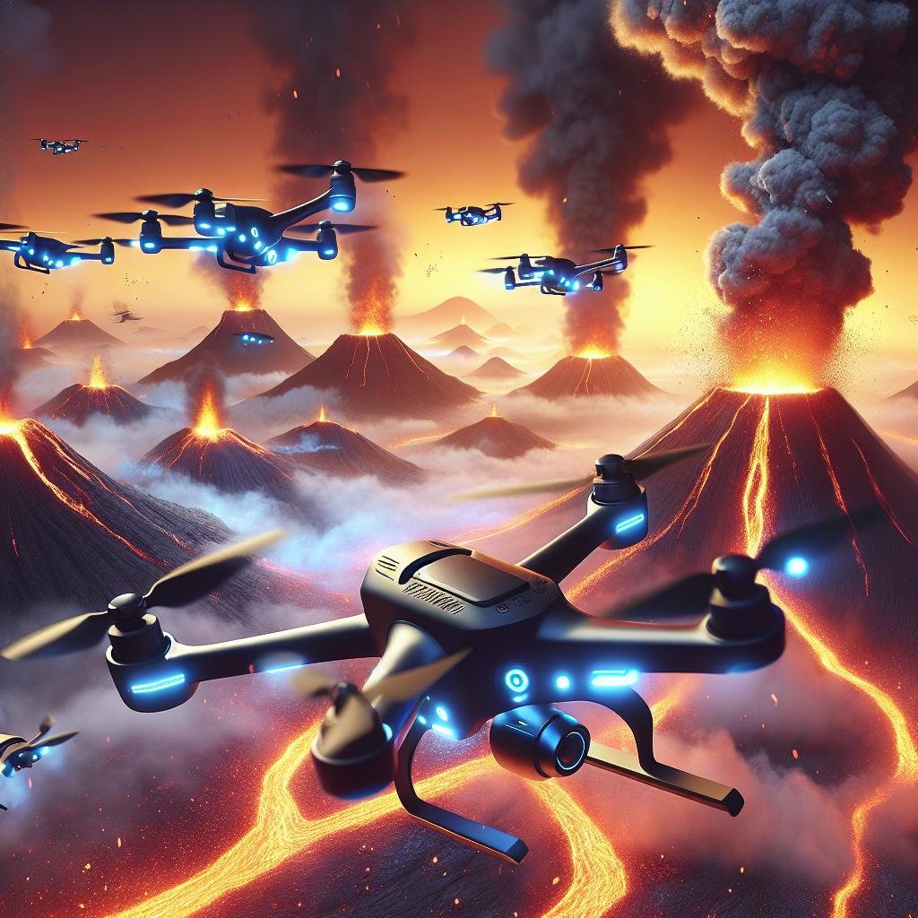
Drones designed for high-altitude surveillance have transformed how we monitor volcanic activity, providing invaluable data from awe-inspiring heights without endangering human lives. Modern drones can ascend to remarkable elevations, equipped with cutting-edge sensors that capture thermal, gas, and visual data critical for predicting eruptions. These flying marvels can navigate treacherous terrains and endure extreme weather conditions, making them indispensable for scientists and researchers. With real-time data transmission, they enable swift decision-making, potentially saving lives and property in vulnerable regions.
Some of the standout features of today’s high-altitude surveillance drones include:
- Expanded Flight Time: Enhanced battery life allows drones to stay airborne for extended periods.
- Advanced Sensor Arrays: Integrated thermal, infrared, and gas sensors improve data accuracy.
- Durability: Robust construction ensures resilience in volcanic ash and extreme temperatures.
- AI-Driven Analytics: Onboard AI systems analyze collected data for immediate insights.
Consider some of the top choices available:
| Drone Model | Key Feature |
|---|---|
| VolcanoEye X1 | 48-hour flight endurance |
| Sentinel XR | Integrated AI analytics |
| AeroGuard 3000 | High-temperature resistance |
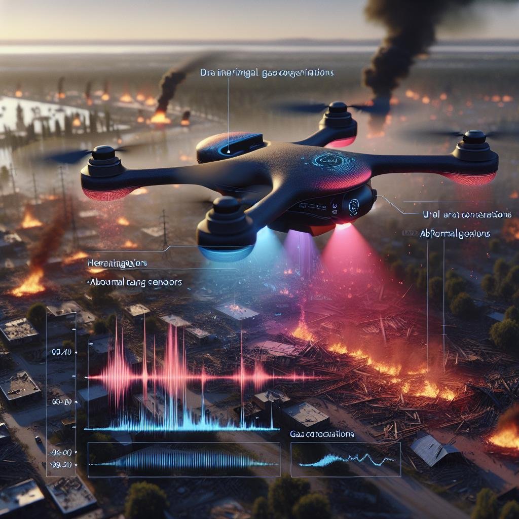
Thermal Imaging and Gas Detection: Essential Features for Natural Disaster Drones
Thermal imaging technology is crucial for drones used in monitoring volcanic activities and natural disasters. This technology allows drones to detect heat signatures, providing vital data such as temperature differentials, hot spots, and potential fire hazards. The ability to see through smoke, fog, and even darkness is paramount, enabling rescue teams to locate trapped individuals or assess thermal activity in hazardous zones. Key features of thermal imaging for disaster response drones include:
- High-resolution sensors: Captures clear and detailed thermal images for accurate assessments.
- Real-time data transmission: Provides on-the-spot information for immediate decision-making.
- Extended range and flight time: Ensures continuous monitoring over large areas.
Gas detection capabilities are equally essential for drones in these scenarios. Volcanic eruptions and other natural disasters can release hazardous gases such as sulfur dioxide (SO₂) and carbon monoxide (CO), posing significant risks to both rescue teams and affected populations. Drones equipped with advanced gas sensors can rapidly measure and report the concentration of these gases, helping to identify safe routes and potential danger zones. Essential gas detection features for disaster drones include:
| Feature | Importance |
|---|---|
| Multi-gas detection sensors | Monitors various dangerous gases simultaneously |
| High sensitivity | Detects low concentrations of hazardous gases accurately |
| Durability | Functions reliably in harsh conditions |
Safety and Durability: Rugged Drones Designed for Extreme Environments
When venturing into the heart of mighty volcanoes or monitoring the aftermath of natural disasters, the resilience of your drone cannot be compromised. **Rugged drones** are meticulously engineered to withstand the most extreme conditions, ensuring both functionality and safety. These drones are typically constructed with **high-grade materials** such as carbon fiber or titanium, making them resistant to intense heat, corrosive substances, and high-impact crashes. Additionally, many feature **waterproof and dustproof** designs, safeguarding their internal components from environmental exposure.
To meet the stringent demands of such volatile environments, these drones are equipped with advanced **safety features and robust technology**. Here’s what you can expect:
- **Thermal Imaging Cameras**: Enabling real-time heat signatures, crucial for detecting lava flows and hotspots.
- **Collision Avoidance Systems**: Utilizing sensors to navigate through obstacle-laden terrains with precision.
- **High-Wind Resistance**: Essential for maintaining stability and control in blustery conditions.
- **Extended Battery Life**: Ensuring longer operational periods essential for wide-area surveys and prolonged missions.
| **Feature** | **Benefit** |
|---|---|
| Reinforced Frame | Withstands high-impact collisions and extreme conditions |
| Advanced Sensors | Improves navigation and hazard detection |
| Autonomous Flight Modes | Facilitates precise, hands-free operations |
Q&A
Q&A: Top Drones for Volcano and Natural Disaster Monitoring
Q1: What makes drones a suitable choice for monitoring volcanoes and natural disasters?
A1: Drones are exceptionally well-suited for monitoring volcanoes and natural disasters due to their ability to access hard-to-reach and hazardous areas without putting human lives at risk. They offer real-time data collection, high-resolution imaging, and the capability to operate in extreme conditions, making them invaluable tools for scientists and emergency responders.
Q2: Could you highlight the top features to look for in a drone intended for these purposes?
A2: When selecting a drone for monitoring volcanoes and natural disasters, key features to consider include: thermal imaging cameras, high-resolution visual sensors, extended flight time, robust build quality, and GPS-enabled autonomous flight capabilities. These features ensure that the drone can capture detailed data and survive in rugged environments.
Q3: Which drone stands out as the best for thermal imaging and why?
A3: The DJI Matrice 300 RTK with the Zenmuse H20T camera is notable for its exceptional thermal imaging capabilities. The H20T camera integrates a thermal sensor alongside a visual and laser rangefinder, providing comprehensive data from a single flight. This makes it ideal for detecting heat signatures and assessing volcanic activity or the aftermath of natural disasters.
Q4: Are there drones specifically designed for long-duration flights?
A4: Yes, the senseFly eBee X is a fixed-wing drone that excels in long-duration flights. With its lightweight, aerodynamic design, it can fly for up to 90 minutes on a single charge. This extended flight time allows for extensive surveying and mapping over large areas, which is crucial for disaster assessment and monitoring.
Q5: What drone is recommended for highly detailed visual inspections?
A5: The Parrot Anafi USA is highly recommended for detailed visual inspections. It features a 32x zoom camera, enabling close-up inspection of critical infrastructure, fault lines, or volcanic craters from a safe distance. The Anafi USA also boasts thermal imaging capabilities, making it a versatile tool for comprehensive monitoring.
Q6: Can you mention a drone model that combines rugged design with advanced technology?
A6: The Skydio X2D is an excellent example of a drone that combines rugged design with advanced technology. Built to withstand harsh environments, the X2D is equipped with a dual-sensor payload that includes a 4K HDR camera and a FLIR® thermal sensor. Its autonomous flight capabilities also provide enhanced situational awareness, making it suitable for challenging monitoring tasks.
Q7: How do drones contribute to disaster response and recovery efforts?
A7: Drones significantly enhance disaster response and recovery efforts by providing rapid aerial assessments, which inform decision-makers about the extent and severity of the damage. They facilitate search and rescue operations, deliver critical supplies to isolated areas, and help create detailed maps for effective planning and coordination of relief efforts.
Q8: Are there any emerging trends in drone technology for disaster monitoring?
A8: Emerging trends in drone technology include the integration of artificial intelligence for autonomous data analysis, swarm drone technology for large-scale area coverage, and enhanced sensor fusion for more accurate data collection. These advancements continue to push the boundaries of what is possible, making drones even more indispensable in monitoring and responding to natural disasters.
Q9: What is the environmental impact of using drones in these scenarios?
A9: Drones generally have a lower environmental impact compared to traditional monitoring methods, such as manned helicopters or ground-based vehicles. They consume less energy and produce fewer emissions, reducing their overall footprint. Additionally, their small size and precision can minimize disturbances to sensitive ecological zones.
Q10: How do governmental and scientific agencies benefit from using drones?
A10: Governmental and scientific agencies benefit from using drones by gaining access to real-time, high-quality data that can improve the accuracy and timeliness of their analyses. This helps in better forecasting volcanic eruptions, assessing disaster impact, planning evacuation routes, and implementing effective mitigation strategies, ultimately saving lives and reducing economic losses.
For those monitoring the Earth’s most volatile regions, drones offer a blend of safety, efficiency, and technological prowess, making them indispensable allies in understanding and responding to the planet’s most challenging environments.
In Conclusion
As we navigate an era where technological advancements intertwine with our natural world, drones emerge as silent sentinels in the skies, tirelessly working to unearth the secrets of our planet’s volatile heart. From surveilling the raw power of volcanic eruptions to tracking the sweeping aftermath of natural disasters, the top drones outlined in this journey are more than mere machines. They are crucial allies, offering unprecedented insight and aiding in our collective quest for understanding and preparedness.
In the face of nature’s unpredictable choreographies, these aerial marvels lend us eyes that pierce through smoke and storm, ears that detect the faintest tremors and turbulence, and tools that meticulously map devastation and rebirth. As we bid adieu to this exploration of the premier drones for volcano and natural disaster monitoring, let us appreciate the fusion of human ingenuity and the relentless forces of nature. Together, they weave a tapestry of vigilance and hope, guiding us towards a future where anticipation and resilience stand as our strongest shields.