

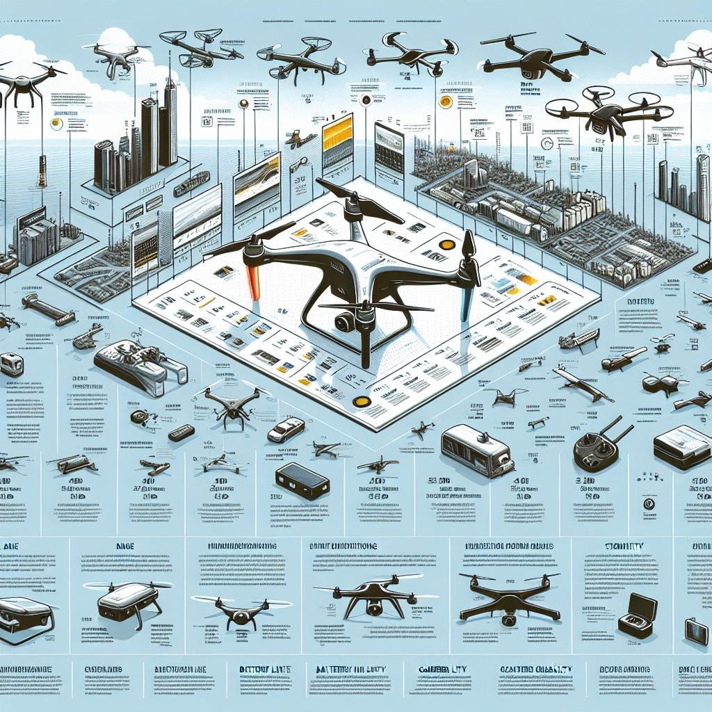
In a world where the skies are no longer just the domain of birds and pilots, a new vanguard soars above us, revolutionizing fields both boundless and precise. Welcome to the age of aerial surveying, where drones—small but mighty emissaries of technology—map our landscapes, capture our progress, and reveal the unseen. As these agile marvels become indispensable tools across industries, from agriculture to urban planning, the choices abound like constellations in the night sky. In this exploration, we navigate through the expanse of innovation to spotlight the most popular drones propelling the art and science of aerial surveying to dazzling new heights. Join us as we unveil the airborne sentinels that are setting the standard for a bird’s-eye view of our ever-evolving world.
Choosing the Right Drone: Factors to Consider Before Purchase
When delving into the world of aerial surveying, selecting the ideal drone can be a game-changer. The accuracy of data collection, flight time, and camera quality are paramount. Here are some essential aspects to consider:
- Purpose: Ensure the drone meets the specific demands of aerial surveying, like geographic mapping, 3D modeling, or land assessment.
- Camera Specifications: High-resolution cameras with gimbal stabilization provide clearer images, crucial for precise surveying.
- Flight Time: Opt for drones with extended flight durations to cover larger areas without frequent battery changes.
The table below compares some popular options based on these critical factors:
| Drone Model | Camera Quality | Max Flight Time | Special Features |
|---|---|---|---|
| DJI Phantom 4 RTK | 20 MP, 1-inch CMOS | 30 min | RTK Navigation |
| Parrot Anafi USA | 32x Zoom, Thermal Imaging | 32 min | Weather Resistant |
| Yuneec H520E | 20 MP, 4K Video | 28 min | Interchangeable Payloads |
Top Drone Models: A Comprehensive Comparison
The sky’s the limit when it comes to modern drones built for aerial surveying. DJI Phantom 4 RTK stands out with its centimeter-level precision and RTK module that ensures data accuracy. It’s tailored for surveying and mapping professionals who rely on dependable and sophisticated technology. Features like obstacle avoidance and intelligent flight modes make it an excellent choice for both beginners and experts. Parrot Anafi USA is another remarkable model renowned for its hybrid imaging system, which includes both thermal and optical sensors. Its compact design and robust performance in various weather conditions make it suitable for a variety of surveying tasks.
For those seeking versatility, the SenseFly eBee X offers a host of camera options and swappable payloads, enabling a wide range of applications from agriculture to mining. Its lightweight construction and extended flight time facilitate comprehensive data collection over larger areas. The Yuneec H520 is also worth mentioning, with its modular design and multiple payload configurations. This hexacopter excels in stability and precision, making it ideal for high-stakes surveying missions. Here’s a quick comparison to help you decide:
| Model | Key Feature | Flight Time | Price Range |
|---|---|---|---|
| DJI Phantom 4 RTK | Centimeter-level precision | 30 min | $$$ |
| Parrot Anafi USA | Hybrid imaging system | 32 min | $$$ |
| SenseFly eBee X | Swappable payloads | 90 min | $$$$ |
| Yuneec H520 | Modular design | 30 min | $$$ |

In-Depth Look: Specifications and Performance Metrics
When diving into the world of aerial surveying, the specifications and performance metrics of drones take center stage. Among the most popular choices, drones like the DJI Phantom 4 RTK, Parrot Anafi USA, and SenseFly eBee X consistently set high benchmarks. The DJI Phantom 4 RTK stands out with its high-precision GNSS module, while the Parrot Anafi USA boasts exceptional thermal imaging. On the other hand, the SenseFly eBee X is noted for its impressive endurance and long flight times. Each of these drones offers unique advantages that cater to different surveying needs, making them indispensable tools for professionals.
- DJI Phantom 4 RTK
- 15m/s top speed
- 30 minutes flight time
- 20MP camera resolution
- Parrot Anafi USA
- 32x zoom camera
- Dual thermal & optical sensors
- 32 minutes flight time
- SenseFly eBee X
- 59 minutes max flight
- Up to 4000 ha coverage at 122m height
- High-accuracy PPK
| Drone Model | Max Flight Time | Camera Megapixels | Special Features |
|---|---|---|---|
| DJI Phantom 4 RTK | 30 min | 20 | High-precision GNSS |
| Parrot Anafi USA | 32 min | 21 | Thermal & Optical Cameras |
| SenseFly eBee X | 59 min | 24 | PPK Survey-Grade Accuracy |
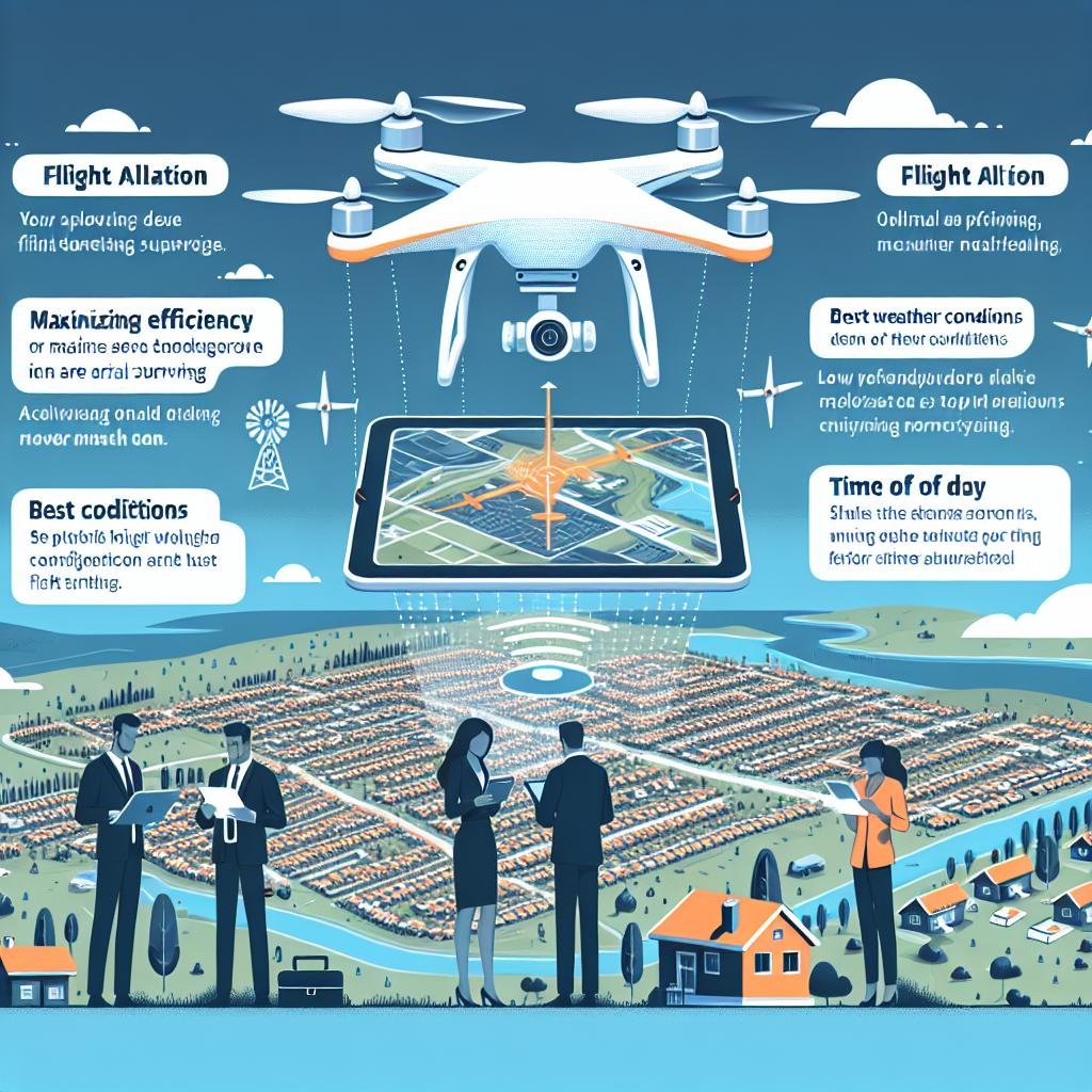
Expert Tips: Maximizing Efficiency in Aerial Surveying
When it comes to increasing efficiency in aerial surveying, leveraging the right drone technology is crucial. Selecting a drone that fits your project’s specific needs can drastically reduce time and resource expenditures while enhancing data accuracy. Here are several expert-recommended tips to make the most out of your aerial surveying missions:
- Choose the Right Sensor: The quality of your survey data largely depends on the sensors your drone employs. Opt for drones with high-resolution cameras and LiDAR sensors to capture detailed topographic data.
- Flight Planning Software: Utilize advanced flight planning software to automate your mission. These tools can help you optimize flight paths, altitude, and speed, ensuring comprehensive coverage and consistent data.
Besides sensor quality and sophistication of flight planning, it’s essential to consider the drones’ operational features and support offerings. For new users and seasoned professionals alike, selecting a drone that’s both robust and user-friendly can significantly shorten the learning curve and enhance project outcomes. Here’s a quick comparison of some popular drones favored in the industry:
| Drone Model | Key Features | Best Use Case |
|---|---|---|
| DJI Phantom 4 RTK | High-precision RTK module, Mechanical shutter | Topographic Mapping |
| Parrot Anafi USA | 32x zoom, Thermal imaging | Search and Rescue |
| senseFly eBee X | Endurance up to 90 mins, Various payload options | Large Area Surveys |
Q&A
Q&A: The Most Popular Drones for Aerial Surveying
Q: What makes drones ideal for aerial surveying?
A: Drones offer a unique combination of flexibility, accuracy, and efficiency. Their ability to fly at varying altitudes, capture high-resolution imagery, and cover large areas quickly makes them indispensable for aerial surveying. They’re especially valuable in terrains where traditional surveying methods are difficult or hazardous.
Q: Which drones are currently considered the most popular for aerial surveying?
A: Among the most popular drones for aerial surveying are the DJI Phantom 4 RTK, the senseFly eBee X, and the Parrot Anafi USA. These models are celebrated for their advanced GPS systems, prolonged flight times, and high-quality imaging capabilities, making them the top choices for professionals.
Q: What features make the DJI Phantom 4 RTK a favorite among surveyors?
A: The DJI Phantom 4 RTK is renowned for its precision, boasting a real-time kinematic (RTK) module that provides centimeter-level accuracy. Its integrated imaging system captures detailed data, and its robust software streamlining data processing makes it a standout tool for surveyors.
Q: How does the senseFly eBee X distinguish itself in the market?
A: The senseFly eBee X is distinguished by its versatility and endurance. It offers a suite of interchangeable sensors, enabling it to adapt to various surveying needs, from photogrammetry to thermal mapping. Additionally, its impressive flight duration of up to 90 minutes allows for extensive coverage in a single flight.
Q: Can you explain why the Parrot Anafi USA is highly regarded in aerial surveying?
A: The Parrot Anafi USA combines portability with professional-grade capabilities. It features high-resolution thermal and visual sensors, rugged construction to withstand challenging environments, and a compact design that makes it easy to transport and deploy quickly, which is a boon for fieldwork.
Q: Are there budget-friendly options available for those new to aerial surveying?
A: Yes, for those on a tighter budget, options like the DJI Mavic 2 Pro and the Autel Robotics EVO II provide an excellent balance of performance and cost. These drones offer good-quality imaging and intuitive controls, making them ideal for newcomers to aerial surveying without sacrificing too much capability.
Q: What should buyers consider when choosing a drone for aerial surveying?
A: Buyers should evaluate factors such as the drone’s imaging resolution, flight time, GPS accuracy, and adaptability to different sensors. It’s also crucial to consider the software ecosystem for data processing and compatibility with existing surveying tools and practices. ease of use and support services can significantly impact the overall experience.
Q: How are advancements in drone technology impacting the surveying industry?
A: Advancements in drone technology, including better sensors, improved GPS accuracy, and enhanced autonomous flight capabilities, are revolutionizing the surveying industry. These innovations are enabling more precise and efficient data collection, reducing time and labor costs, and expanding the possibilities for detailed and large-scale mapping projects.
Q: What does the future hold for drones in aerial surveying?
A: The future looks promising, with anticipated improvements in AI-driven data analysis, more robust drones capable of longer flights and harsher conditions, and innovations in sensor technology that could provide even more detailed and varied data. As regulations evolve, we can also expect more streamlined operations and potentially broader applications across different sectors.
Q: Where can interested individuals learn more about these drones and their applications?
A: Those interested can explore manufacturer websites, reputable drone review platforms, and professional forums related to geospatial surveying. Additionally, attending industry conferences and training workshops can provide hands-on experience and deeper insights into the latest developments and best practices in aerial surveying using drones.
—
This Q&A aims to inform potential drone users about their options and considerations in the field of aerial surveying, while maintaining a neutral and informative tone.
To Conclude
As the horizon of technology continues to expand, drones have undeniably taken flight, transforming the landscape of aerial surveying with consummate ease and precision. From mapping terrains to inspecting infrastructures, the skies have never been so vibrant with possibility. The versatility of these high-flying marvels offers a promising glimpse into the future where data meets the clouds, painting a canvas of innovation that is as boundless as the atmosphere itself.
So, whether you are an industry veteran looking to upgrade your fleet, or a curious newcomer eager to explore new heights, remember that the right drone can elevate more than just your perspective— it can lift your entire field of vision. Choose wisely, and let the drones take you to new altitudes of success.